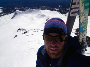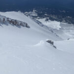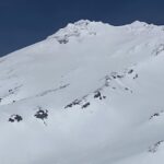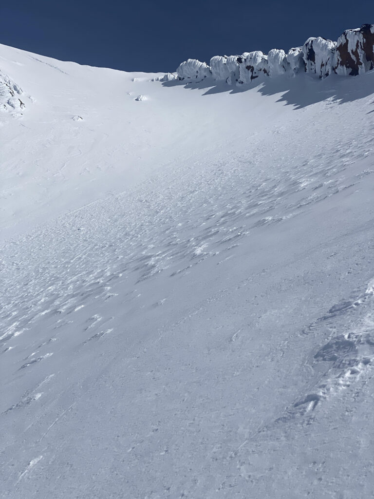
April 21, 2024: Looking up Avalanche Gulch towards the Left of Heart variation and the Red Banks.

April 21, 2024: Looking down the Left of Heart variation into Avalanche Gulch proper. The Red Banks and the standard climbing route can be seen to the left.
With all the warm and sunny weather in northern California lately, I decided I would take advantage and try to climb to the summit of Mount Shasta in one day and ski the East Face.
On April 21 2024, I left the carpark at the Bunny Flat trailhead at 6:30am on skis. I made good time skinning across the frozen snow surface and donned my ski crampons at approximately 8,200 feet just below the bottom of Spring Hill, where the slope angle first starts to angle up. I arrived at Lake Helen at approximately 9:00am and observed about 20 people, most with skis on their backs, all climbing up the standard Avalanche Gulch climbing route. The standard route goes to the right of a bulge of snow-scoured talus often referred to as The Heart. The standard Avalanche Gulch climbing route can be described as “Right of Heart”.
In an attempt to avoid subsequent human-triggered rock and ice fall that often accompanies climbing below other climbers on the standard route up Avalanche Gulch, I elected to climb up the far less frequented Left of Heart variation. The Left of Heart variation is a great alternative in the early spring when there is adequate snow cover and a good overnight refreeze.
The snow and cold air temperatures can help mitigate the naturally occurring ice and rock fall that frequently increases during the warm summer months. The Left of Heart variation is a great way to escape the crowds and directly deposits climbers onto the plateau just below Misery Hill. The Left of Heart variation is also the most direct way to ski back to Bunny Flat.
Skiers should never descend the standard climbing route via the chutes in the Red Banks, the Thumb, or Right of Heart. Not only are the skiing conditions in these areas almost always of poor quality, but skiing down this way can create a tremendous hazard to those below you by almost certainly triggering rock and ice fall.
As I topped out and arrived at the plateau below Misery Hill, I rejoined the other climbers and we made our up to the summit plateau in the moderate to strong southwest wind. As I was climbing alone, I asked a fellow climber to snap a photo of me. Feeling quite energetic still, I clipped into my skis, skied the East Face, and found myself back in the carpark at Bunny Flat by 1:00pm. My hope is you that will find the information and photos contained in this post useful for your climb. See you on the mountain!
Cheers,
Shane
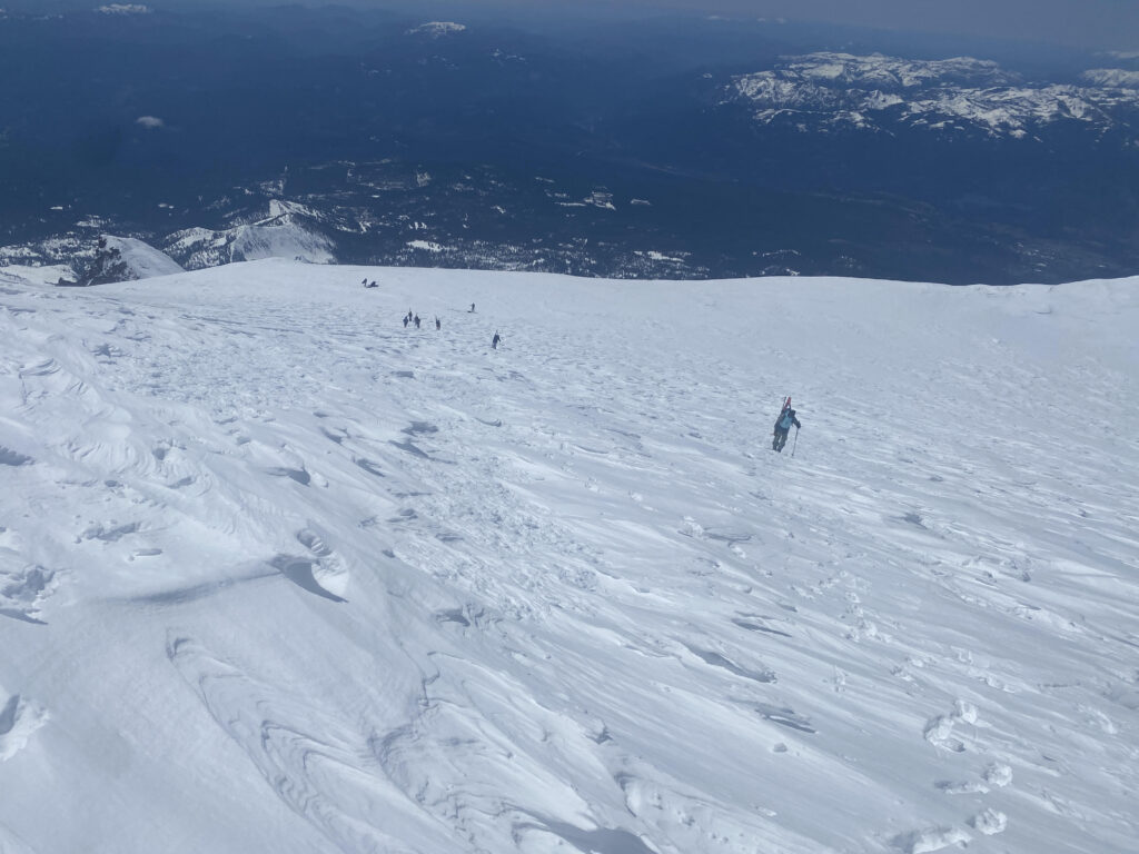
April 21, 2024: Climbers making their way up Misery Hill to the summit of Mt Shasta!
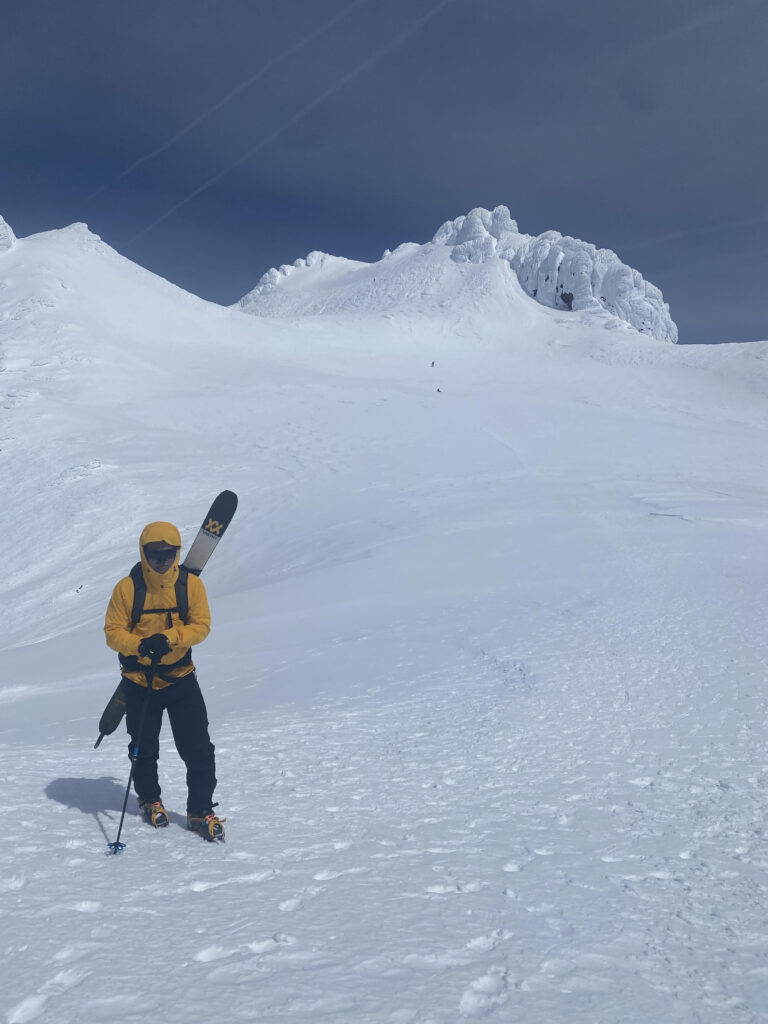
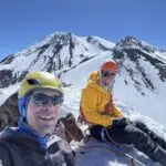
April 21, 2024: Posing for a photo on the summit plateau of Mt Shasta with the rime ice covered summit cone visible in the background.
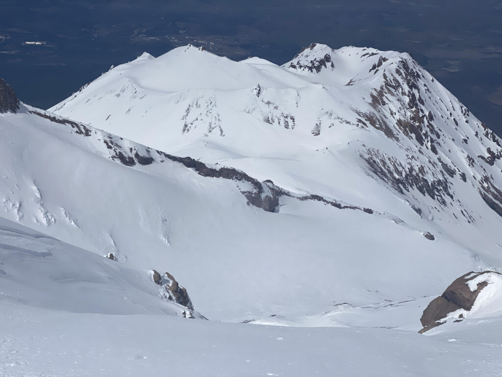
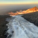
April 21, 2024: One of my favorite views from from the summit plateau. This is looking down at snow covered crevasses on California’s longest glacier, the Whitney Glacier. The crater rim of Shastina is visible in the background.
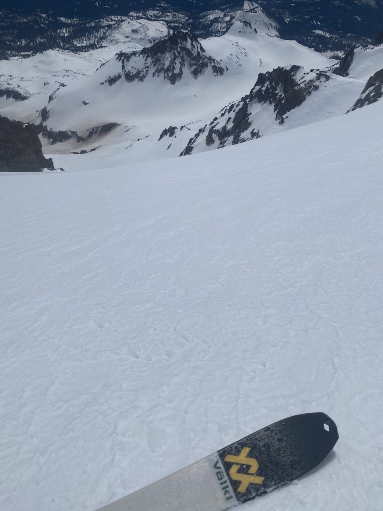
April 21, 2024: Looking down the East Face of Mt Shasta about half way down the face.

